Wealthiest suburbs in Perth
Median household income from the census. No estimates, no agent opinions.
Dalkeith (100/100), City Beach (99/100), Floreat (99/100) lead this ranking of 256 Perth suburbs.
By Formada3D research · Updated October 2026
Part of Perth suburb rankings · all Perth lists
Which are the wealthiest suburbs in Perth?
How do the top 25 compare, measure by measure?
| # | Suburb | Median household income ($/wk) | Wealth score | Median house price |
|---|---|---|---|---|
| 1 | 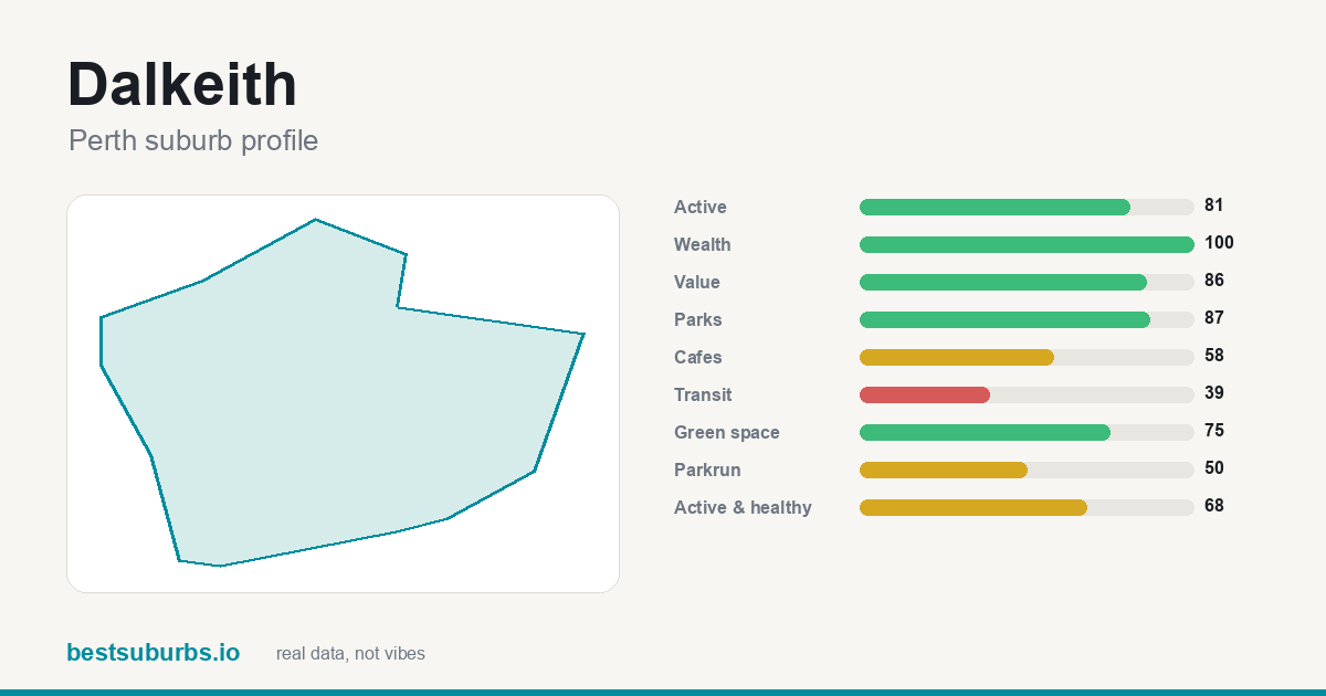 Dalkeith Dalkeith | 4,672 | 100 | — |
| 2 | 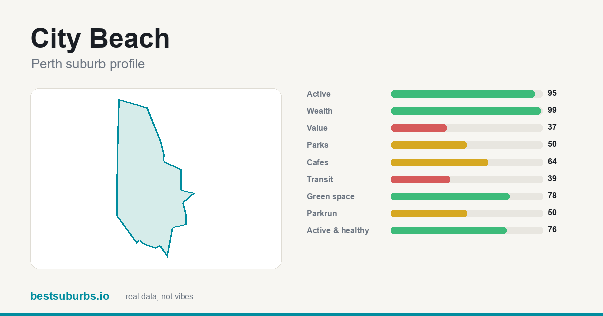 City Beach City Beach | 3,700 | 99 | — |
| 3 | 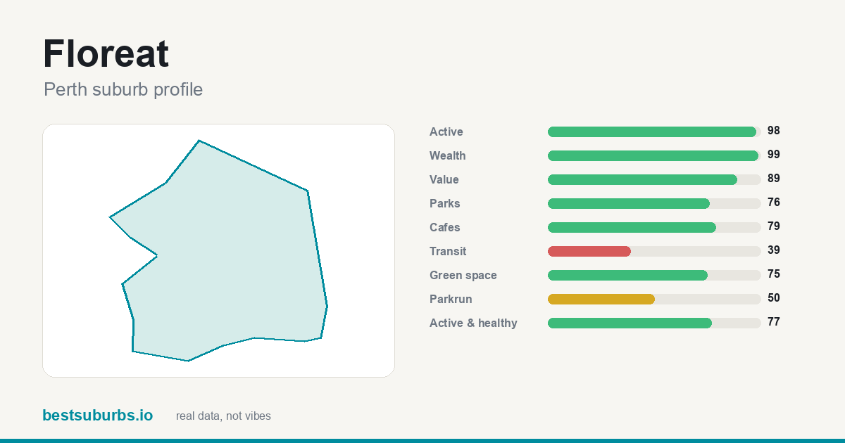 Floreat Floreat | 3,570 | 99 | — |
| 4 | 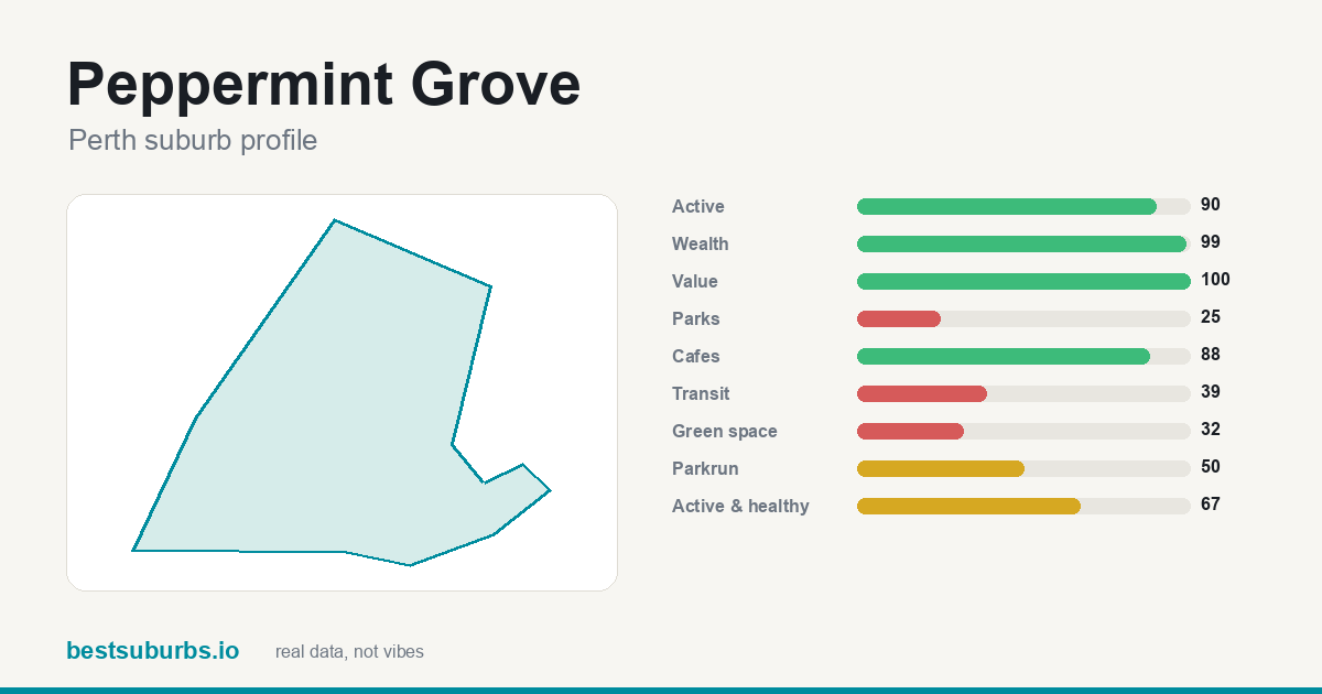 Peppermint Grove Peppermint Grove | 4,565 | 99 | — |
| 5 | 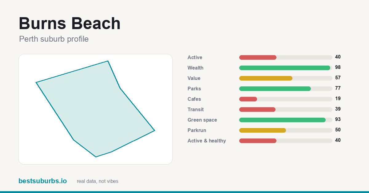 Burns Beach Burns Beach | 3,439 | 98 | — |
| 6 | 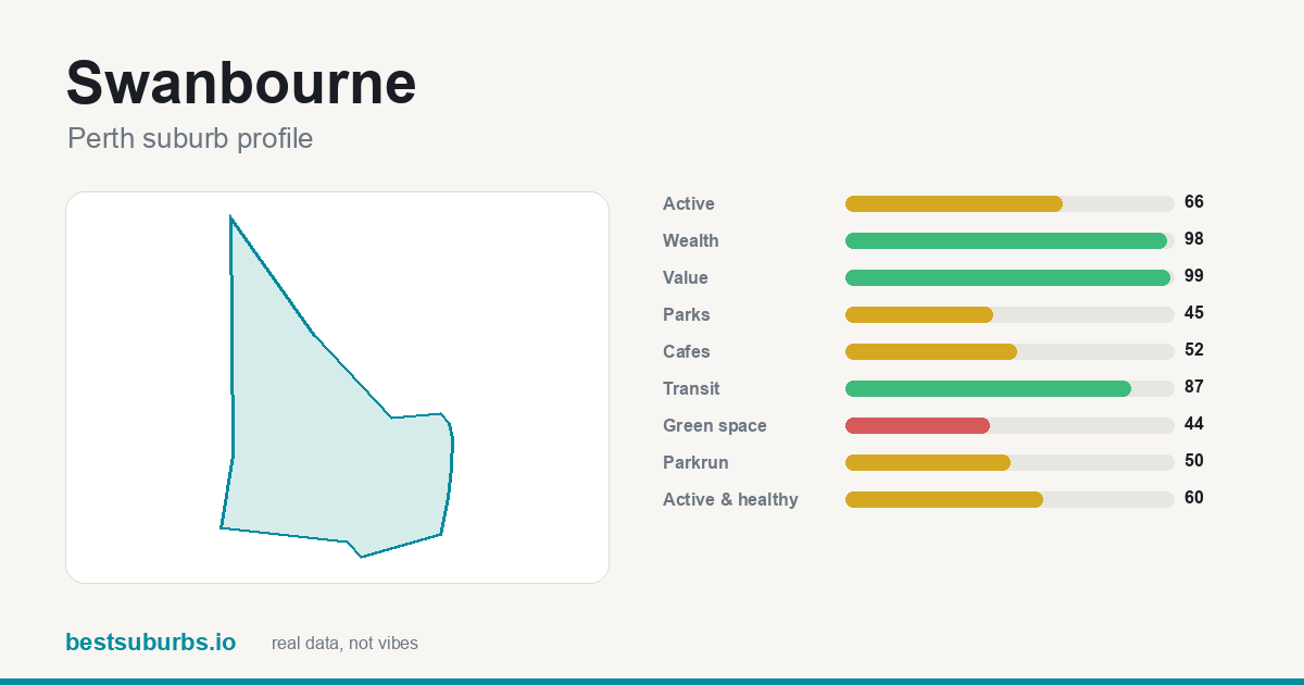 Swanbourne Swanbourne | 3,418 | 98 | — |
| 7 | 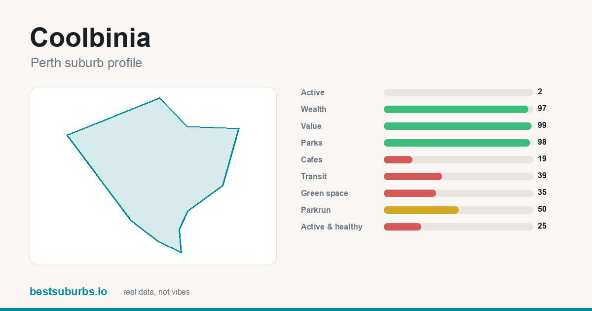 Coolbinia Coolbinia | 3,229 | 97 | — |
| 8 | 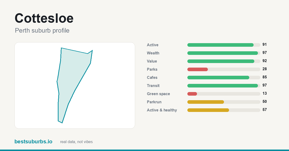 Cottesloe Cottesloe | 3,351 | 97 | — |
| 9 | 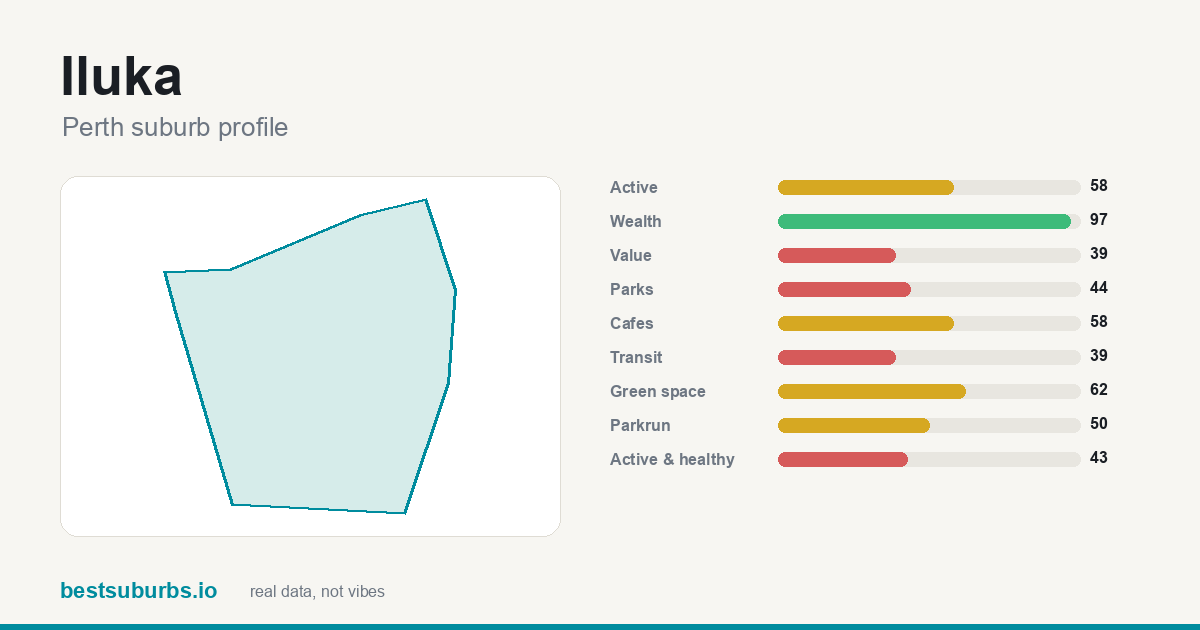 Iluka Iluka | 3,144 | 97 | — |
| 10 | 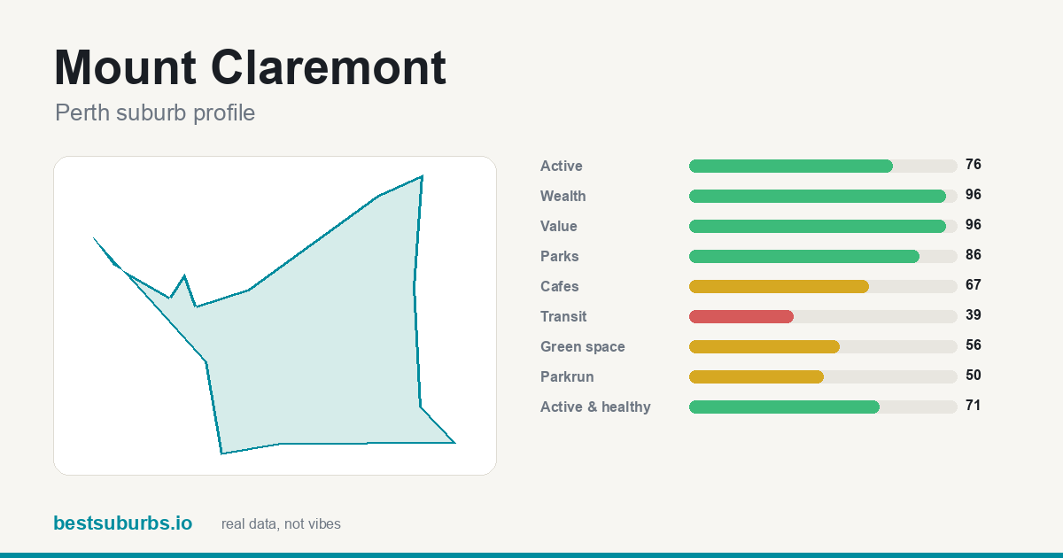 Mount Claremont Mount Claremont | 2,835 | 96 | — |
| 11 | 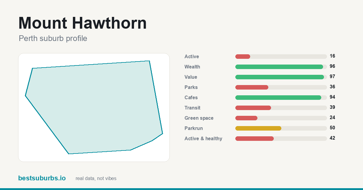 Mount Hawthorn Mount Hawthorn | 2,890 | 96 | — |
| 12 | 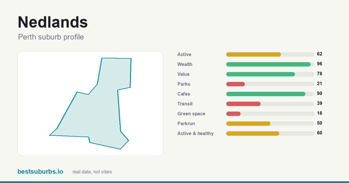 Nedlands Nedlands | 2,832 | 96 | — |
| 13 | 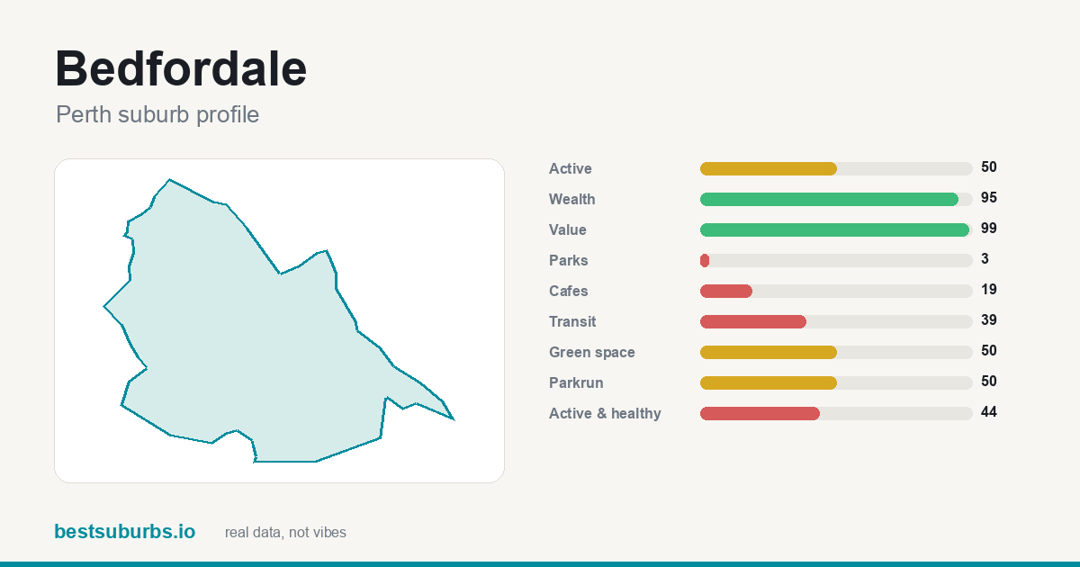 Bedfordale Bedfordale | 2,722 | 95 | — |
| 14 | 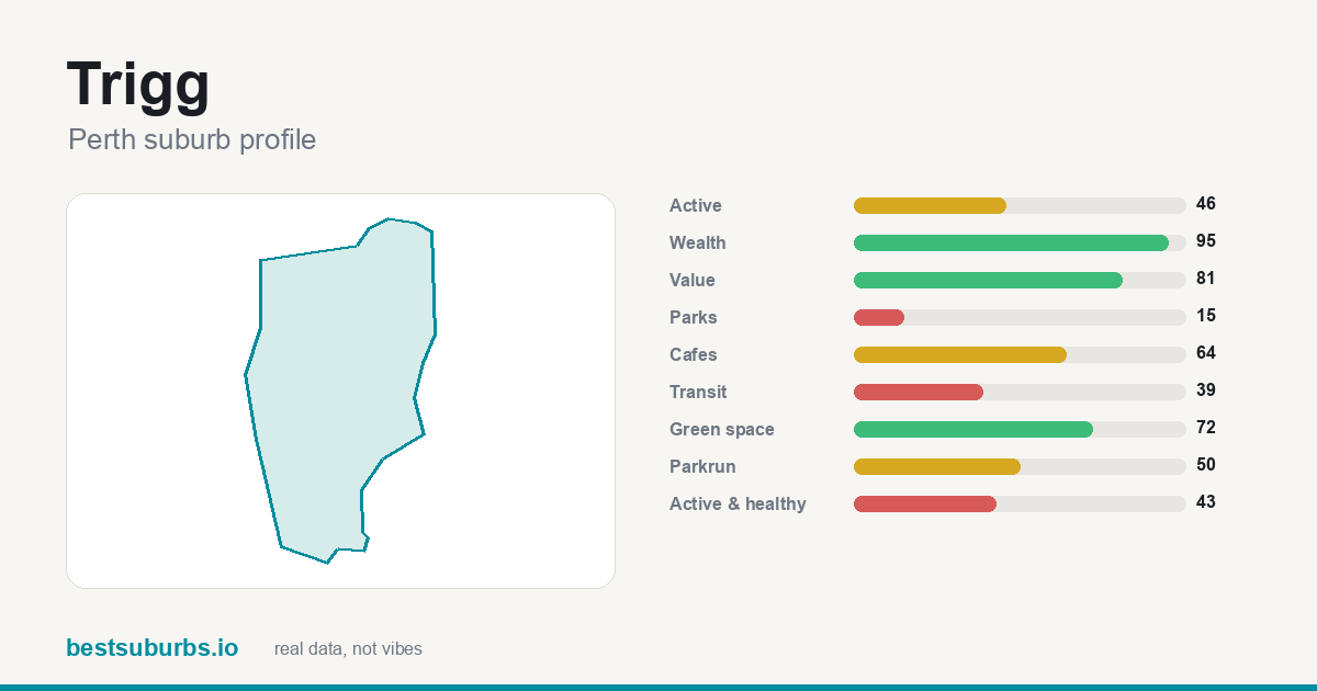 Trigg Trigg | 2,779 | 95 | — |
| 15 | 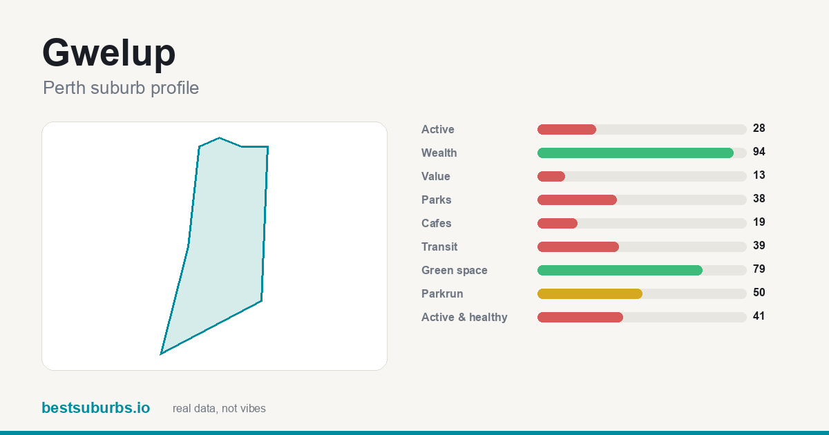 Gwelup Gwelup | 2,658 | 94 | — |
| 16 | 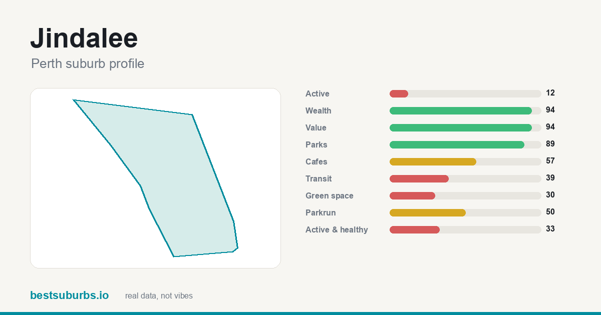 Jindalee Jindalee | 2,685 | 94 | — |
| 17 | 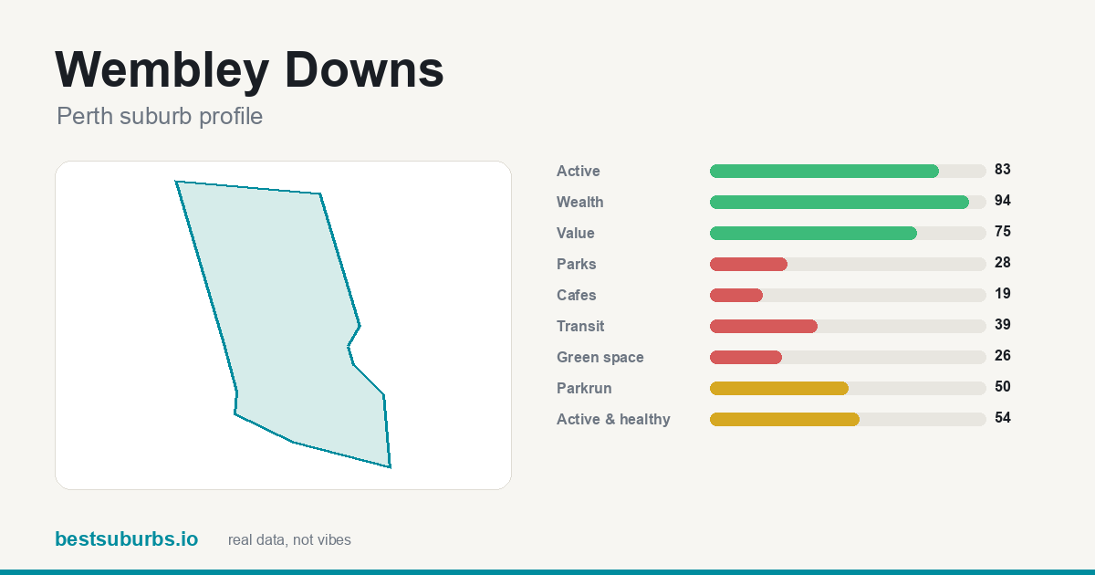 Wembley Downs Wembley Downs | 2,626 | 94 | — |
| 18 | 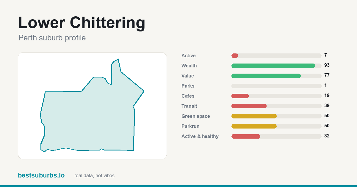 Lower Chittering Lower Chittering | 2,612 | 93 | — |
| 19 | 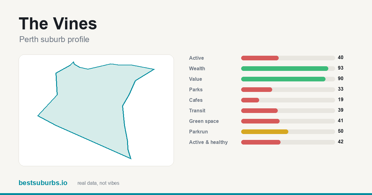 The Vines The Vines | 2,569 | 93 | — |
| 20 | 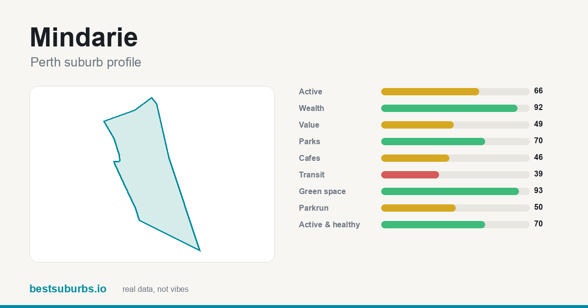 Mindarie Mindarie | 2,555 | 92 | — |
| 21 | 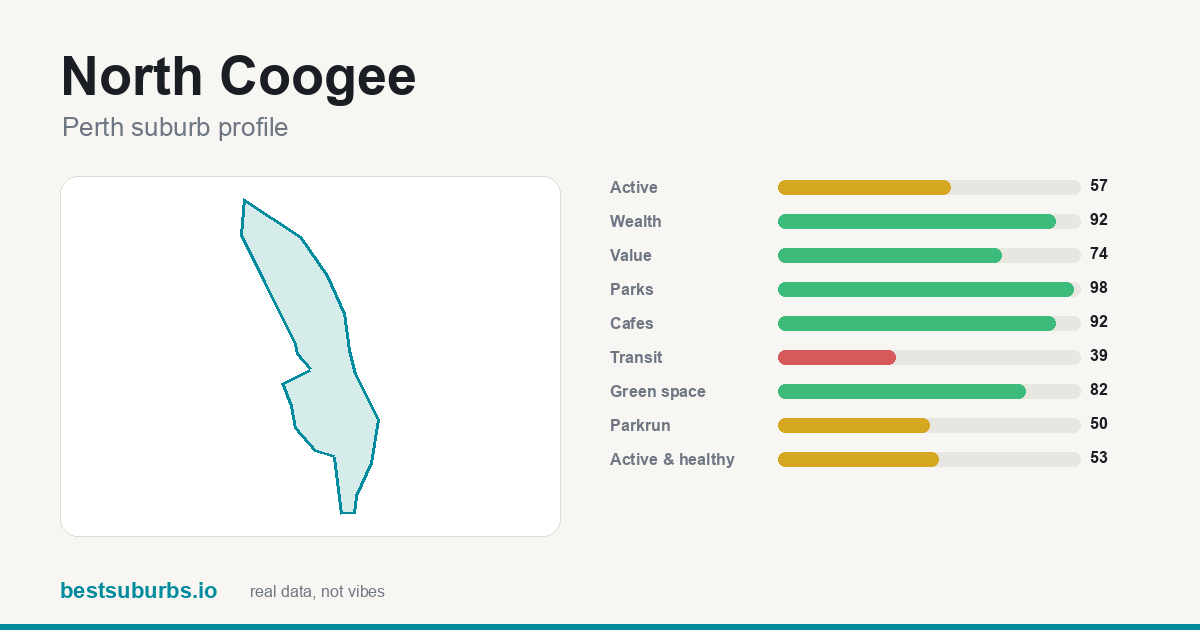 North Coogee North Coogee | 2,566 | 92 | — |
| 22 | 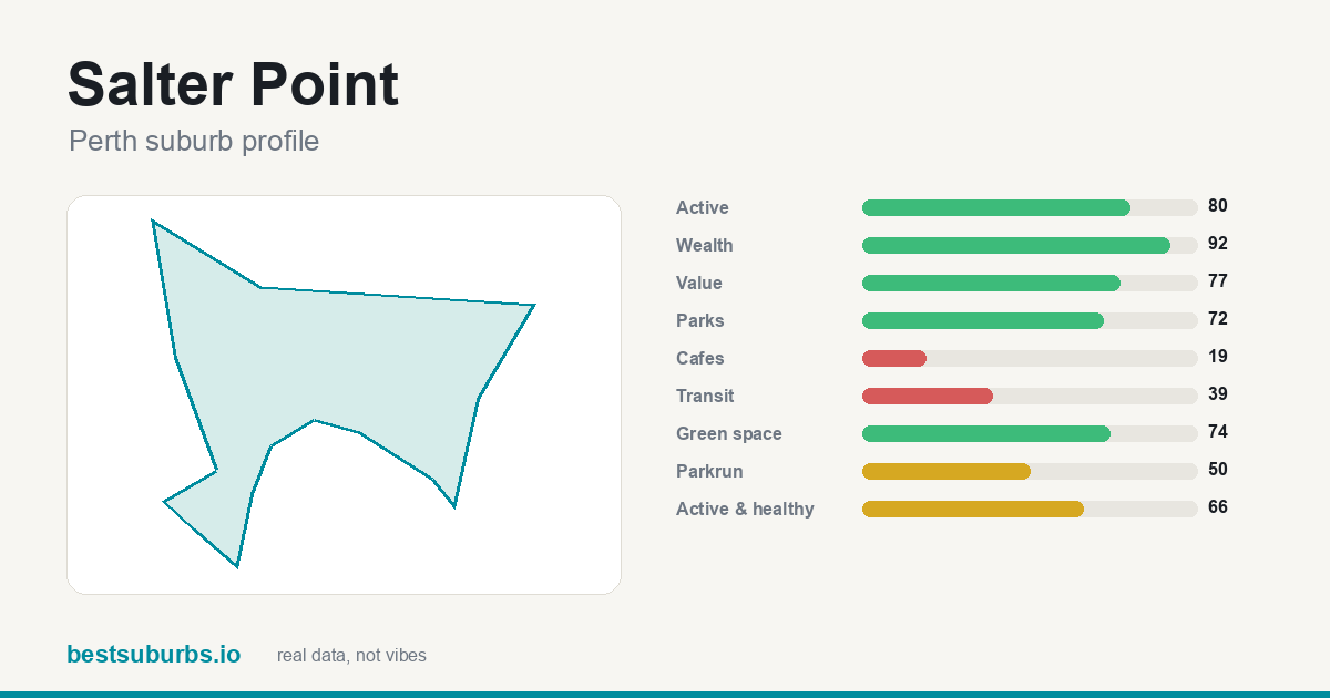 Salter Point Salter Point | 2,529 | 92 | — |
| 23 | 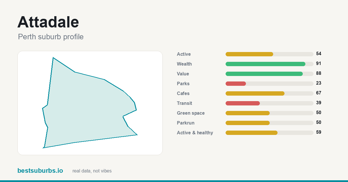 Attadale Attadale | 2,521 | 91 | — |
| 24 | 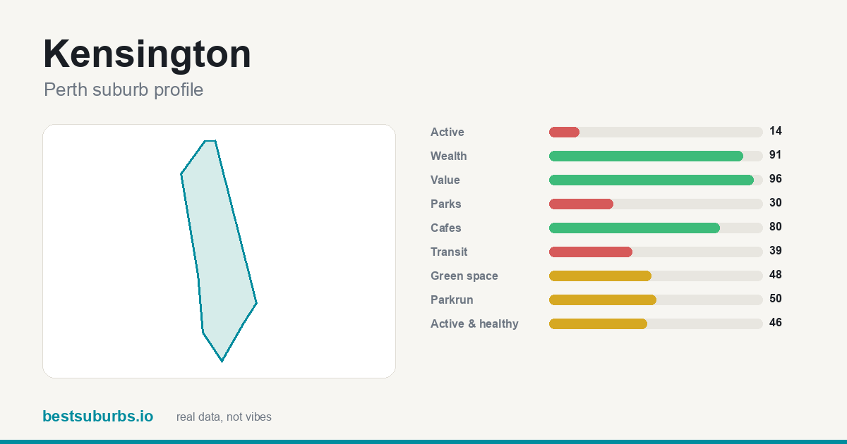 Kensington Kensington | 2,496 | 91 | — |
| 25 | 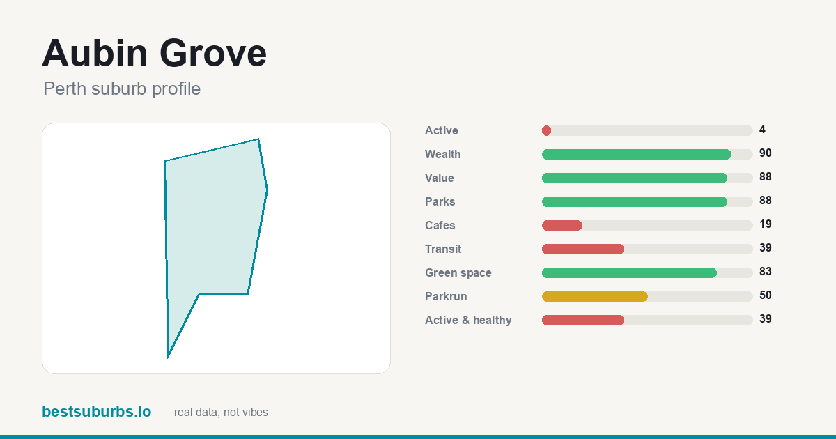 Aubin Grove Aubin Grove | 2,490 | 90 | — |
Showing the top 25 of 256 ranked suburbs. Scores are percentiles against every other suburb in Perth: 100 is the best in the city, 50 is mid-table. Click any suburb for its full profile.
Why are these the 10 wealthiest suburbs in Perth? (October 2026)
Updated 10 October 2026 · one sentence of real reasons per suburb, from the data on this page.
- Dalkeith ★ 100
What lifts Dalkeith to #1 is 97% of it within 400 m of a park; it also has 9.2 ha of parkland per 1,000 residents, and 1 mapped school nearby.
- City Beach ★ 99
What lifts City Beach to #2 is 93% of it within 400 m of a park; it also has 59.3 ha of parkland per 1,000 residents, and 4 mapped schools nearby.
- Floreat ★ 99
#3 Floreat — 97% of it within 400 m of a park, plus 10.6 ha of parkland per 1,000 residents, and 5 cafés.
- Peppermint Grove ★ 99
Peppermint Grove ranks #4: 2 cafés, 61% of it within 400 m of a park, and 3 mapped schools nearby.
- Burns Beach ★ 98
What lifts Burns Beach to #5 is 100% of it within 400 m of a park; it also has 36.0 ha of parkland per 1,000 residents, and 1 mapped school nearby.
- Swanbourne ★ 98
Swanbourne takes #6 on 1 public transport stop inside it for a transit score of 87, with 64% of it within 400 m of a park, and 3 mapped schools nearby.
- Coolbinia ★ 97
Coolbinia takes #7 on 92% of it within 400 m of a park, with 2 mapped schools nearby, and median rent of $350 a week.
- Cottesloe ★ 97
What lifts Cottesloe to #8 is 2 public transport stops inside it for a transit score of 97; it also has 6 cafés, and 67% of it within 400 m of a park.
- Iluka ★ 97
Iluka takes #9 on 100% of it within 400 m of a park, with 2.7 ha of parkland per 1,000 residents, and median rent of $635 a week.
- Mount Claremont ★ 96
Mount Claremont (#10) scores on 82% of it within 400 m of a park and 6 mapped schools nearby, and median rent of $420 a week.
Why each of the top 10 wealthiest suburbs in Perth ranks where it does
Written from this page's own data: each figure below is the suburb's own value, set against the Perth median where we hold one.
1. Dalkeith
Dalkeith is #1 of 256 ranked Perth suburbs on this list, with a score of 100/100. Median household income is $4,672 a week, against a Perth median of $2,005 (census). The trade-off: it scores 39/100 for public transport, so it is weaker there. It covers 3 km² with about 4,398 residents (census).
2. City Beach
City Beach is #2 of 256 ranked Perth suburbs on this list, with a score of 99/100. Median household income is $3,700 a week, against a Perth median of $2,005 (census). The trade-off: it scores 37/100 for value for rent, so it is weaker there. It covers 9.8 km² with about 6,805 residents (census).
3. Floreat
Floreat is #3 of 256 ranked Perth suburbs on this list, with a score of 99/100. Median household income is $3,570 a week, against a Perth median of $2,005 (census). The trade-off: it scores 39/100 for public transport, so it is weaker there. It covers 4.6 km² with about 8,621 residents (census).
4. Peppermint Grove
Peppermint Grove is #4 of 256 ranked Perth suburbs on this list, with a score of 99/100. Median household income is $4,565 a week, against a Perth median of $2,005 (census). The trade-off: it scores 25/100 for parks, so it is weaker there. It covers 1.1 km² with about 1,597 residents (census).
5. Burns Beach
Burns Beach is #5 of 256 ranked Perth suburbs on this list, with a score of 98/100. Median household income is $3,439 a week, against a Perth median of $2,005 (census). The trade-off: it scores 19/100 for cafés, so it is weaker there. It covers 3.3 km² with about 4,071 residents (census).
6. Swanbourne
Swanbourne is #6 of 256 ranked Perth suburbs on this list, with a score of 98/100. Median household income is $3,418 a week, against a Perth median of $2,005 (census). It covers 5.2 km² with about 4,592 residents (census).
7. Coolbinia
Coolbinia is #7 of 256 ranked Perth suburbs on this list, with a score of 97/100. Median household income is $3,229 a week, against a Perth median of $2,005 (census). The trade-off: it scores 2/100 for activity, so it is weaker there. It covers 0.8 km² with about 1,751 residents (census).
8. Cottesloe
Cottesloe is #8 of 256 ranked Perth suburbs on this list, with a score of 97/100. Median household income is $3,351 a week, against a Perth median of $2,005 (census). The trade-off: it scores 28/100 for parks, so it is weaker there. It covers 3.8 km² with about 7,750 residents (census).
9. Iluka
Iluka is #9 of 256 ranked Perth suburbs on this list, with a score of 97/100. Median household income is $3,144 a week, against a Perth median of $2,005 (census). The trade-off: it scores 39/100 for public transport, so it is weaker there. It covers 2.5 km² with about 5,669 residents (census).
10. Mount Claremont
Mount Claremont is #10 of 256 ranked Perth suburbs on this list, with a score of 96/100. Median household income is $2,835 a week, against a Perth median of $2,005 (census). The trade-off: it scores 39/100 for public transport, so it is weaker there. It covers 4.4 km² with about 4,999 residents (census).
How do these suburbs compare head to head?
What else do people ask about wealthiest suburbs in Perth?
What are the wealthiest suburbs in Perth?
On our October 2026 data the top five are Dalkeith (100/100), City Beach (99/100), Floreat (99/100), Peppermint Grove (99/100), Burns Beach (98/100), out of 256 ranked Perth suburbs.
How is this ranking calculated?
Median weekly household income from the census, as a percentile. This is a factual ranking, not a recommendation — high income does not make a suburb a good place for you to live, and several of our other lists disagree with this one on purpose. 256 of 256 Perth suburbs had enough data to be ranked. Updated October 2026.
Is this ranking sponsored?
No. No ranking on this site is sold or sponsored. It is computed from open data: GPS activity traces, official crime statistics, the ABS census and OpenStreetMap.
What other Perth rankings are there?
Sources: open GPS activity traces, official crime statistics, ABS census,
OpenStreetMap (ODbL). Median sale price: not available for Western Australia — Landgate sells suburb sales reports and REIWA's medians are commercial; there is no open-licence suburb-level sale price dataset for WA. No ranking on this site is sold or sponsored.
← all 256 Perth suburbs, with sliders