Family friendly suburbs in Brisbane (2026 data)
Short answer: on the data we can source, Ashgrove, Ferny Grove and Fig Tree Pocket come out on top. That is from suburbs at or above the Brisbane median for safety with a school inside 1.5 km of the suburb centre — 121 of the 277 scored Brisbane suburbs clear that bar — then ordered by the same percentile scores behind every ranking on this site. Nothing on this page is sponsored.
By Formada3D research · Updated 10 October 2026
What should families with school-age children read before using this list?
School distance is not school catchment. We measure how far the nearest school is in a straight line from the suburb centre using OpenStreetMap. That is not the same as being zoned for it, and zoning is what actually decides enrolment. Check the current catchment with the school and the state education department before you sign anything — a suburb can be 400 m from a school it is not zoned for.
Which Brisbane suburbs come out on top for families with school-age children? (top 5)
1. Ashgrove
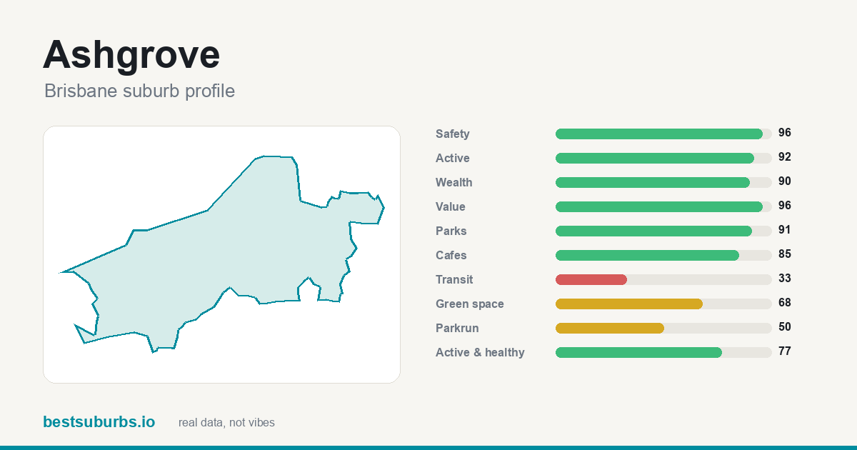
$440/wk median rent — $40 above the Brisbane median. Safety 96/100, transit 33/100, green space 68/100, nearest school 0.37 km (Mt St Michael's College). Full Ashgrove profile.
2. Ferny Grove
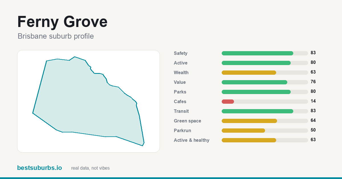
$400/wk median rent — exactly the Brisbane median. Safety 83/100, transit 83/100, green space 64/100, nearest school 0.04 km (Undercover Area). Full Ferny Grove profile.
3. Fig Tree Pocket
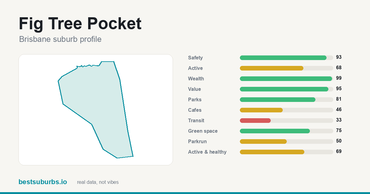
$590/wk median rent — $190 above the Brisbane median. Safety 93/100, transit 33/100, green space 75/100, nearest school 0.36 km (The Glenleighden School). Full Fig Tree Pocket profile.
4. Corinda
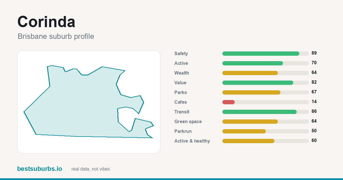
$388/wk median rent — $12 below the Brisbane median. Safety 89/100, transit 86/100, green space 64/100, nearest school 0.49 km (St Aidan's Junior School). Full Corinda profile.
5. Indooroopilly
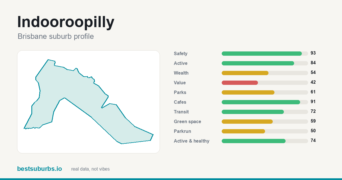
$440/wk median rent — $40 above the Brisbane median. Safety 93/100, transit 72/100, green space 59/100, nearest school 0.31 km (Saint Peters Lutheran College). Full Indooroopilly profile.
What else do people ask about Brisbane for families with school-age children?
Which Brisbane suburbs suit families with school-age children?
Ashgrove, Ferny Grove and Fig Tree Pocket lead on our scoring. The cut is suburbs at or above the Brisbane median for safety with a school inside 1.5 km of the suburb centre, and 121 of 277 scored suburbs clear it. Full ranking: best suburbs for families in Brisbane.
How is this worked out?
From the same open data behind every page here — official crime statistics, ABS census income and rent, OpenStreetMap parks, cafés, transit and schools — turned into per-suburb percentile scores. This page applies one extra filter on top, stated above, and changes nothing else. See how we rank suburbs.
What does this page not tell me?
School distance is not school catchment. We measure how far the nearest school is in a straight line from the suburb centre using OpenStreetMap. That is not the same as being zoned for it, and zoning is what actually decides enrolment. Check the current catchment with the school and the state education department before you sign anything — a suburb can be 400 m from a school it is not zoned for.
Computed from 277 scored Brisbane suburbs. Guidance only — visit a suburb before you move there. No suburb, agent or developer can pay for placement on this page or any ranking it links to. Sources and full method: how we rank suburbs.