Best suburbs in Brisbane for runners
How close the nearest parkrun is, how much running actually happens, and how much park to run in.
St Lucia (79/100), Fairfield (78/100), Ashgrove (78/100) lead this ranking of 277 Brisbane suburbs.
By BestSuburbs research · Updated October 2026
Part of Brisbane suburb rankings · all Brisbane lists
Which Brisbane suburbs are best for runners?
How do the top 25 compare, measure by measure?
| # | Suburb | Nearest parkrun (km) | Which parkrun | Activity | Median house price |
|---|---|---|---|---|---|
| 1 | 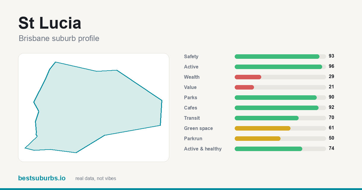 St Lucia St Lucia | — | — | 96 | $2,070,000 |
| 2 | 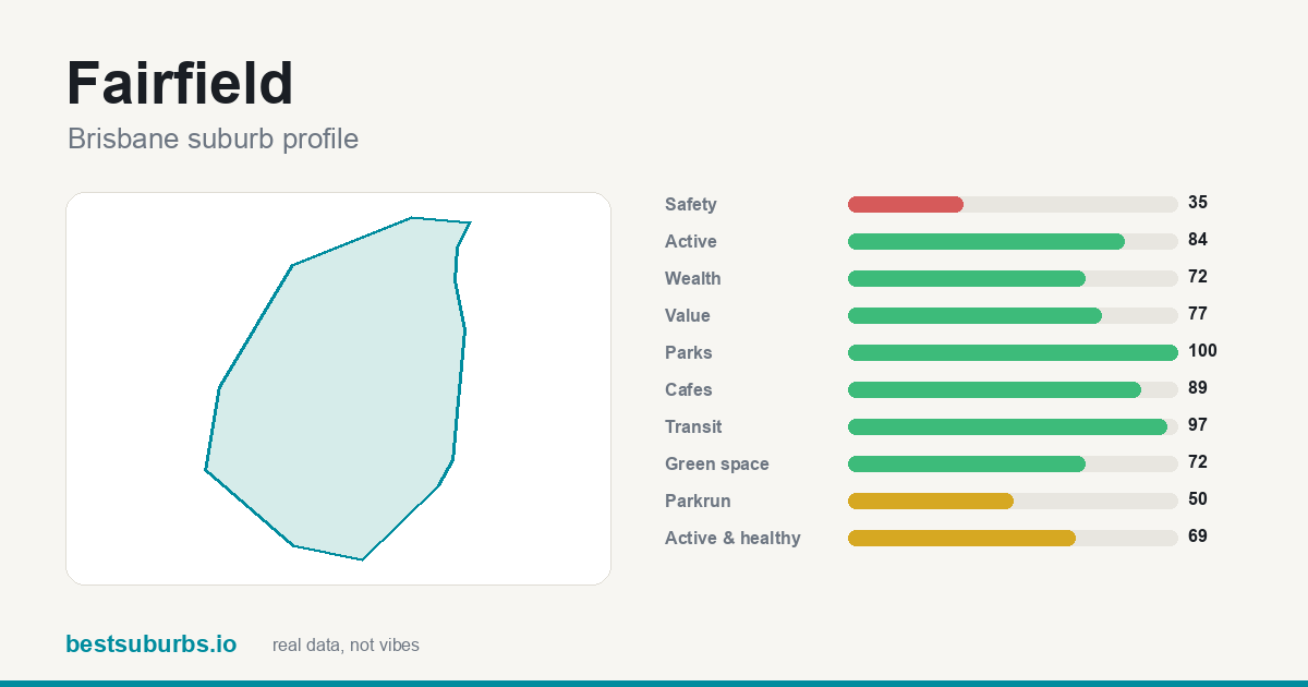 Fairfield Fairfield | — | — | 84 | $1,300,000 |
| 3 | 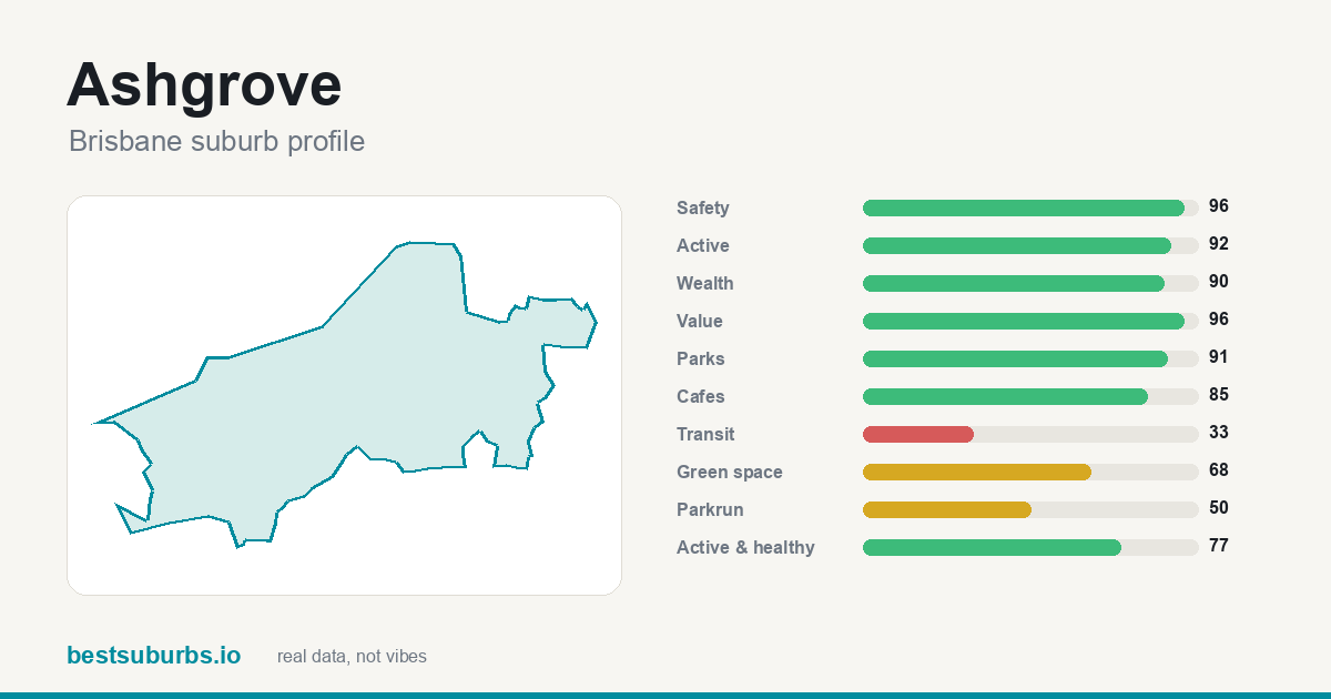 Ashgrove Ashgrove | — | — | 92 | $1,850,000 |
| 4 | 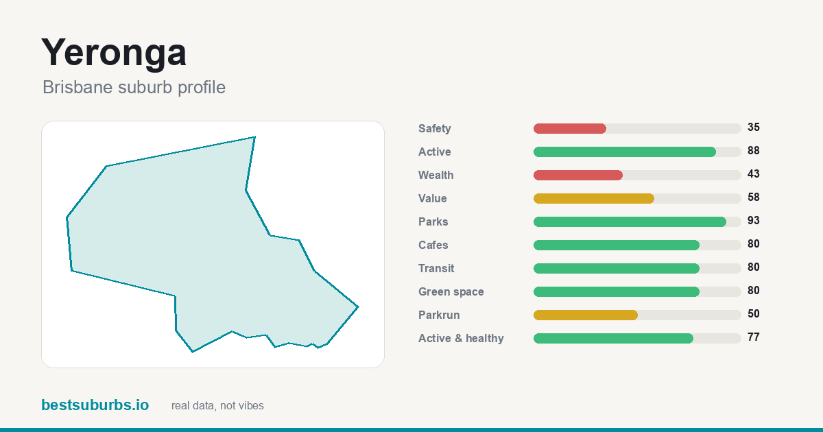 Yeronga Yeronga | — | — | 88 | $1,637,500 |
| 5 | 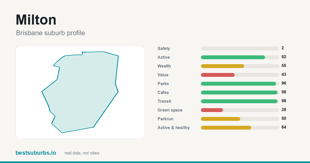 Milton Milton | — | — | 82 | $2,150,000 |
| 6 | 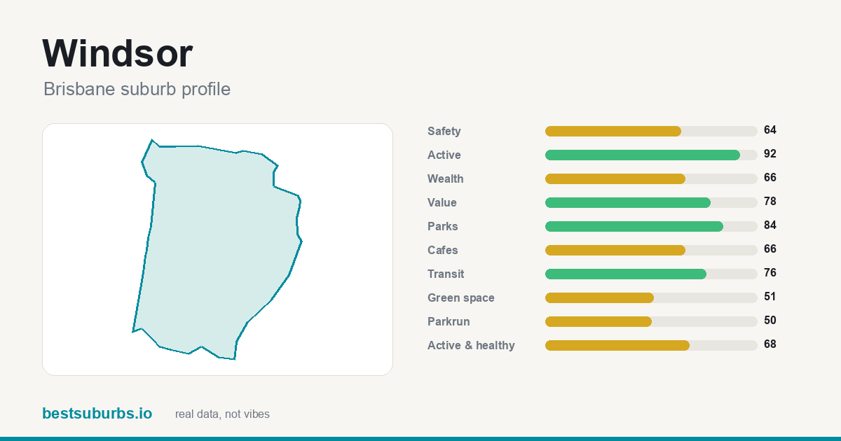 Windsor Windsor | — | — | 92 | $1,530,000 |
| 7 | 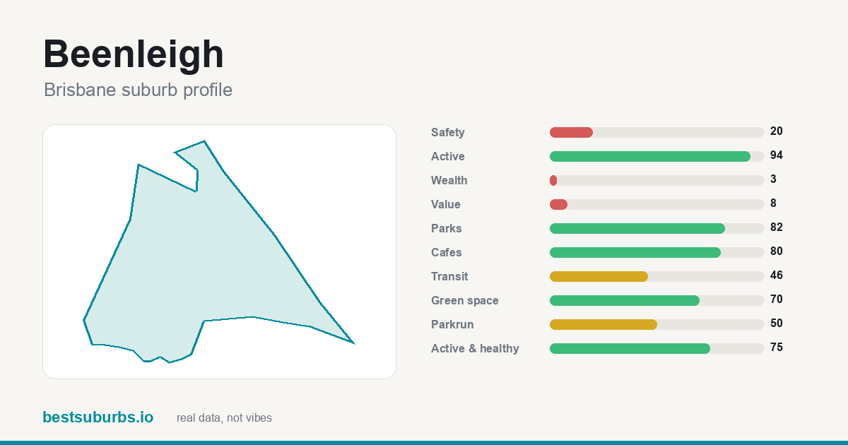 Beenleigh Beenleigh | — | — | 94 | $812,500 |
| 8 | 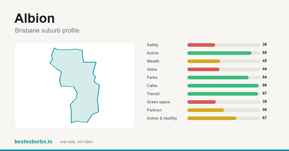 Albion Albion | — | — | 88 | $1,455,000 |
| 9 | 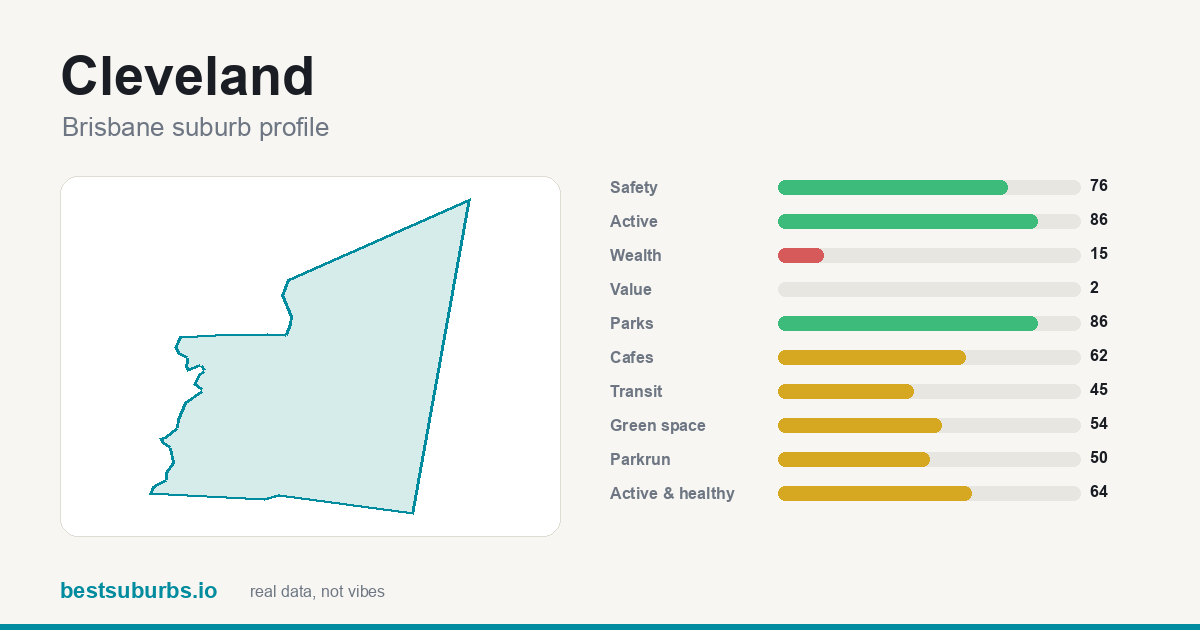 Cleveland Cleveland | — | — | 86 | $1,280,000 |
| 10 | 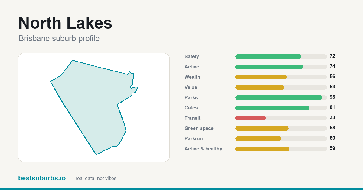 North Lakes North Lakes | — | — | 74 | $1,005,500 |
| 11 | 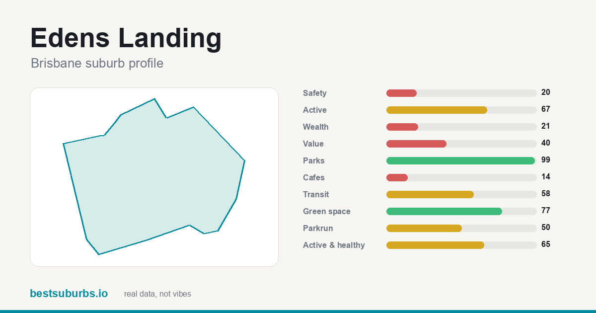 Edens Landing Edens Landing | — | — | 67 | $861,250 |
| 12 | 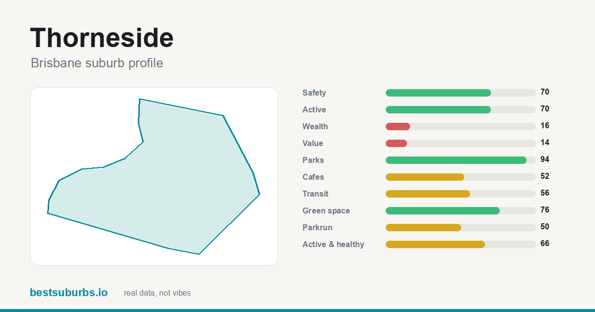 Thorneside Thorneside | — | — | 70 | $1,170,000 |
| 13 | 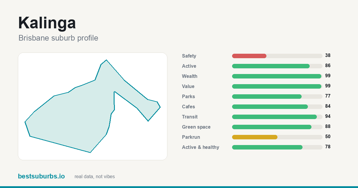 Kalinga Kalinga | — | — | 86 | $1,525,000 |
| 14 | 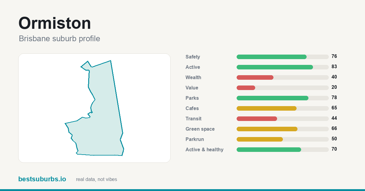 Ormiston Ormiston | — | — | 83 | $1,365,000 |
| 15 | 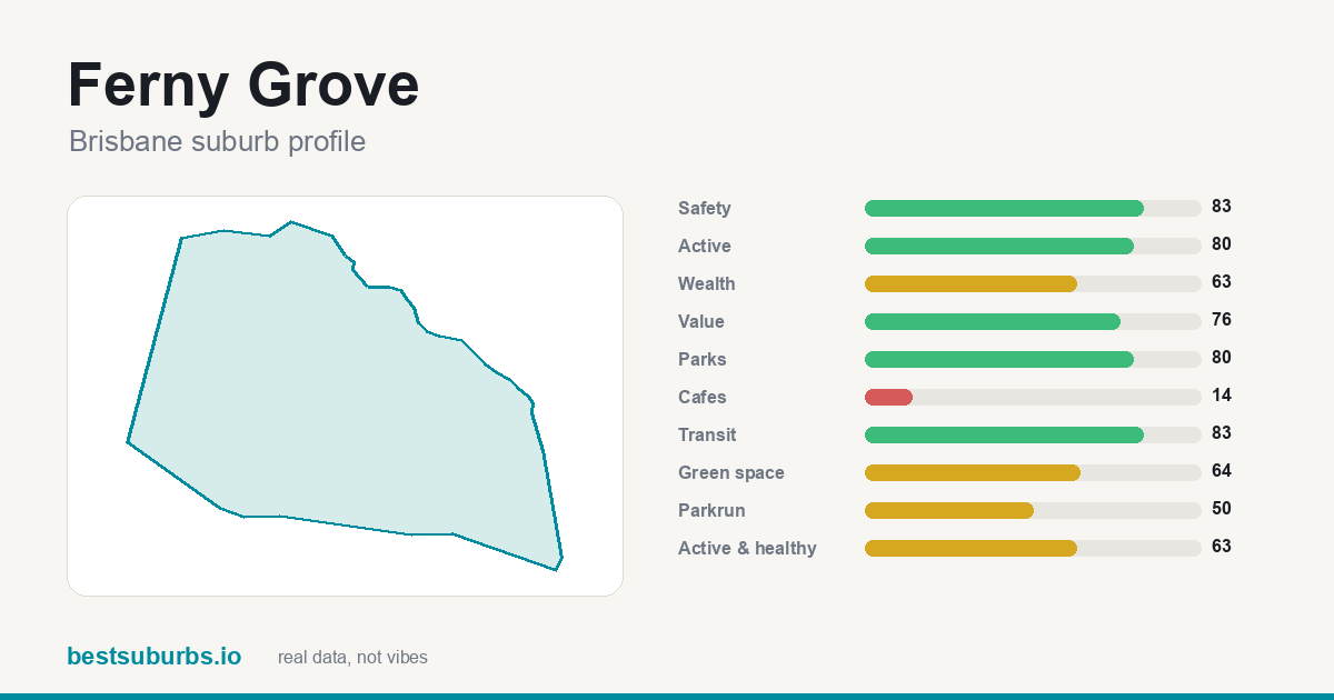 Ferny Grove Ferny Grove | — | — | 80 | $1,339,000 |
| 16 | 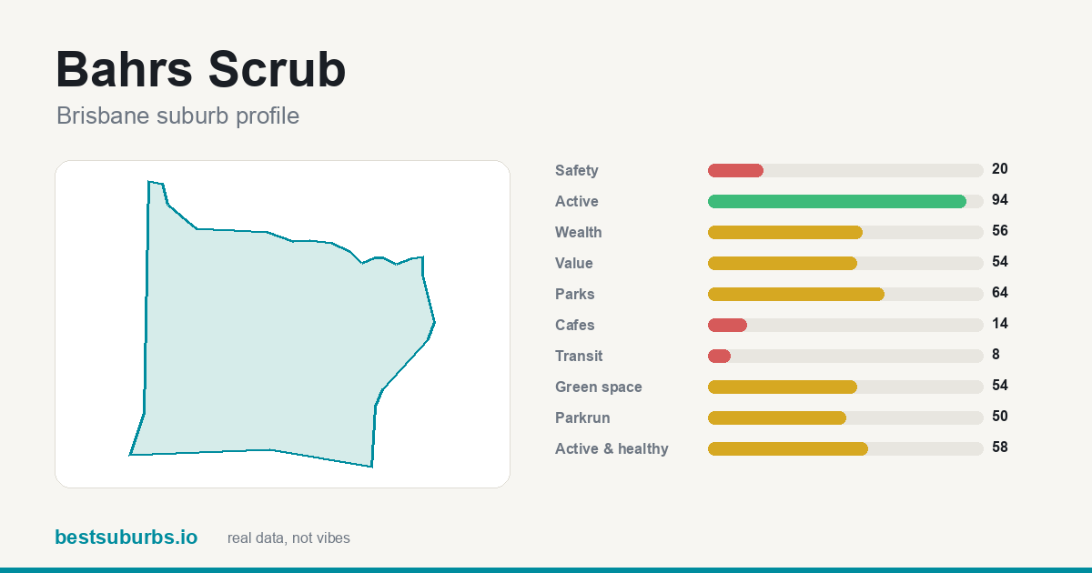 Bahrs Scrub Bahrs Scrub | — | — | 94 | $957,000 |
| 17 | 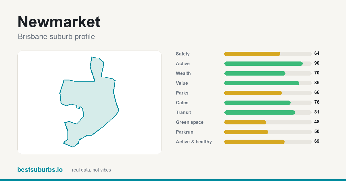 Newmarket Newmarket | — | — | 90 | $1,517,500 |
| 18 | 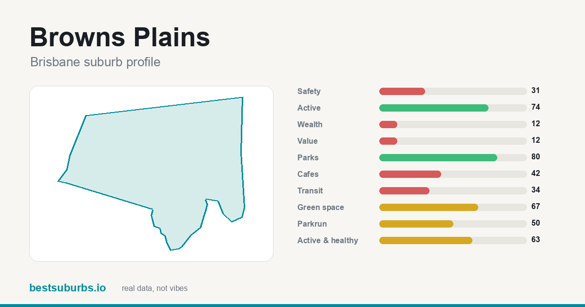 Browns Plains Browns Plains | — | — | 74 | $920,000 |
| 19 | 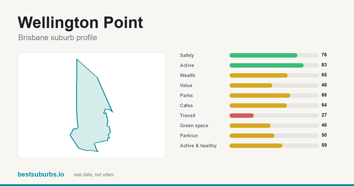 Wellington Point Wellington Point | — | — | 83 | $1,362,500 |
| 20 | 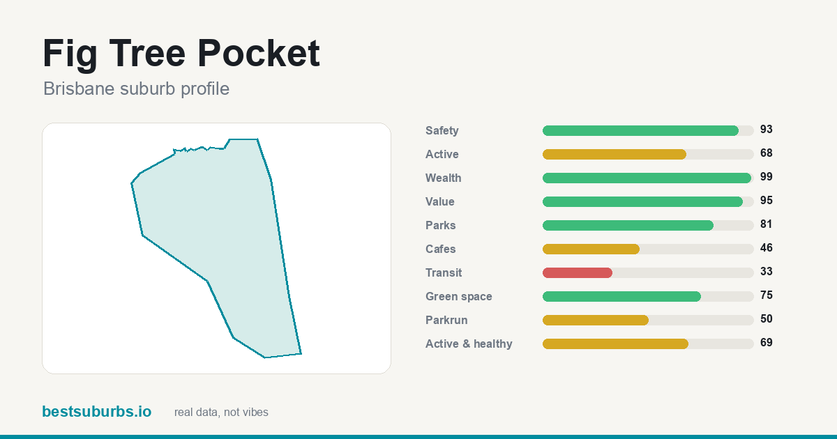 Fig Tree Pocket Fig Tree Pocket | — | — | 68 | $2,080,000 |
| 21 | 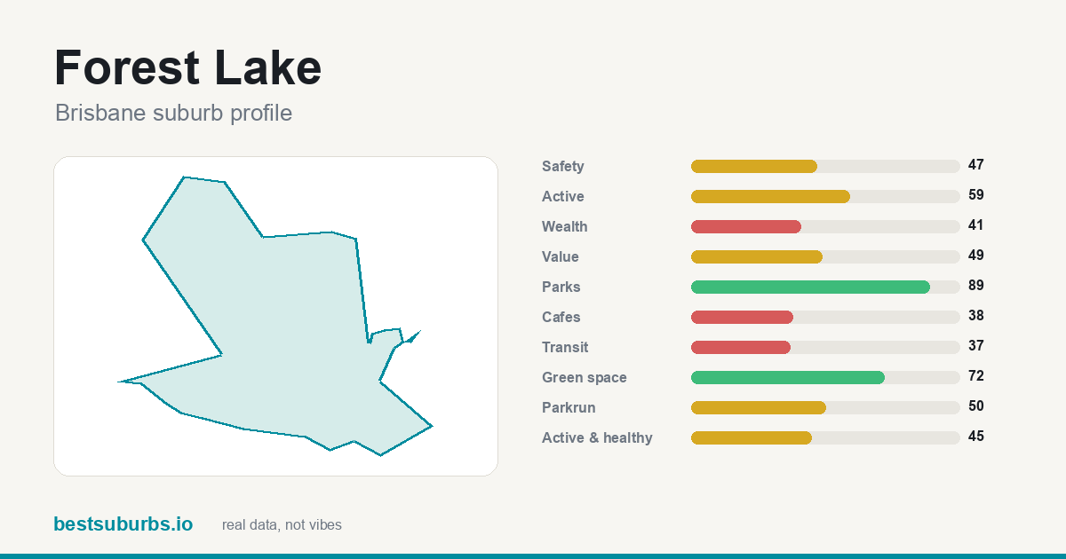 Forest Lake Forest Lake | — | — | 59 | $980,000 |
| 22 | 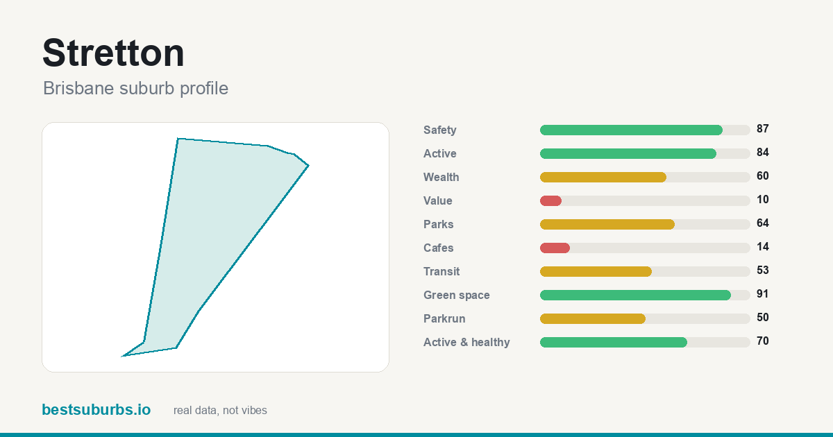 Stretton Stretton | — | — | 84 | $1,420,000 |
| 23 | 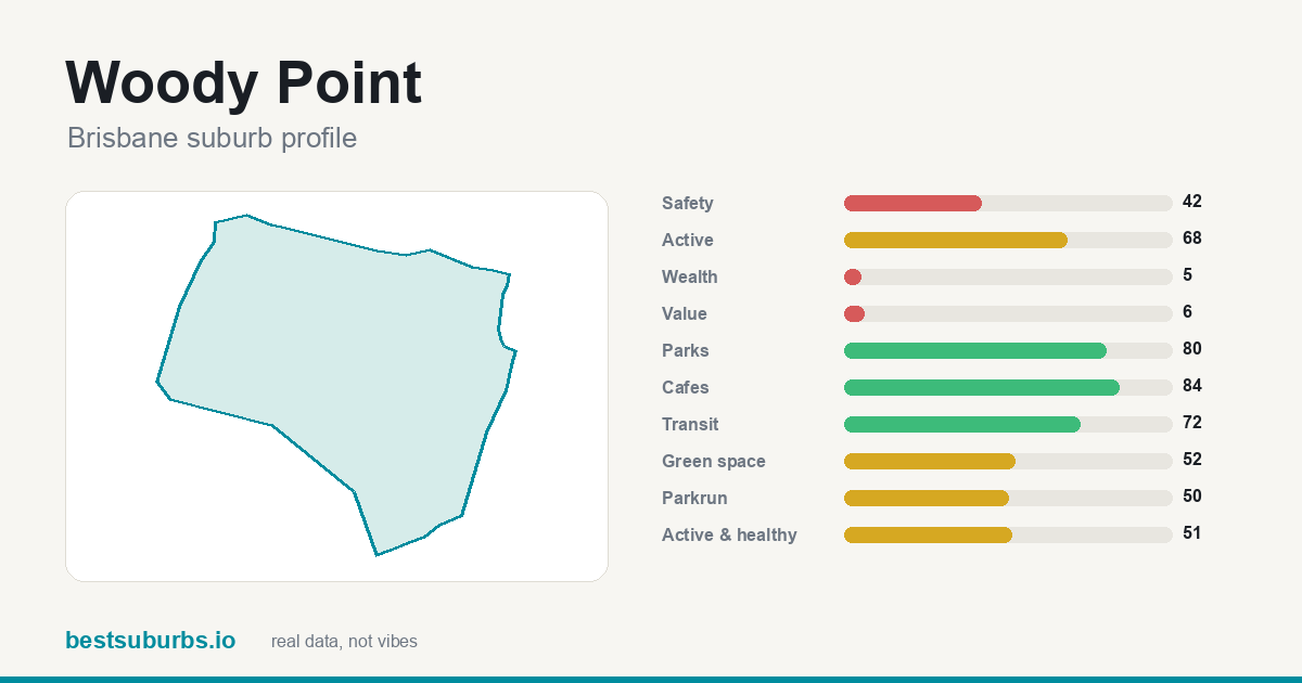 Woody Point Woody Point | — | — | 68 | $999,500 |
| 24 | 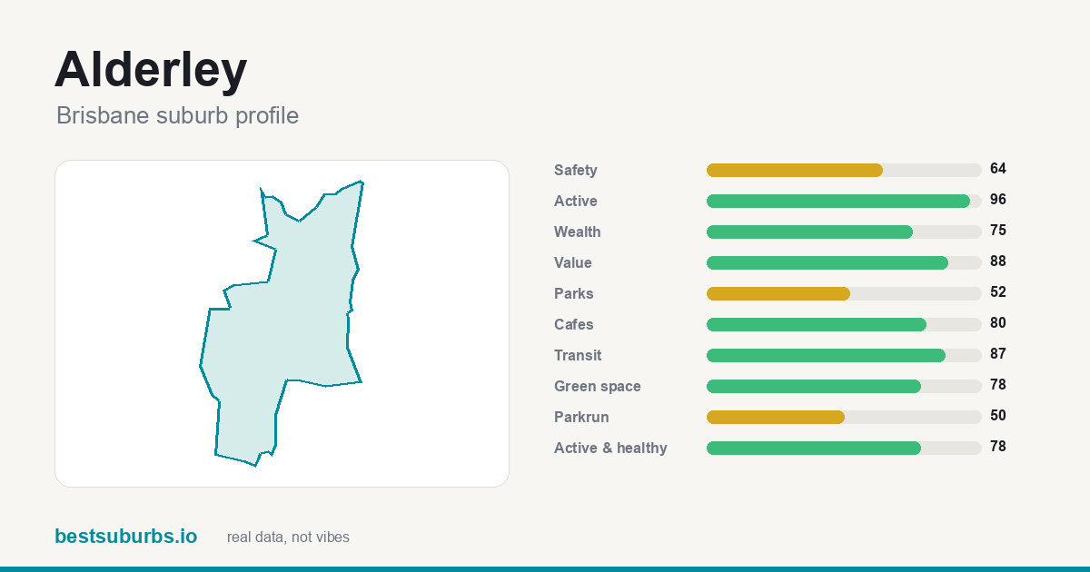 Alderley Alderley | — | — | 96 | $1,651,000 |
| 25 | 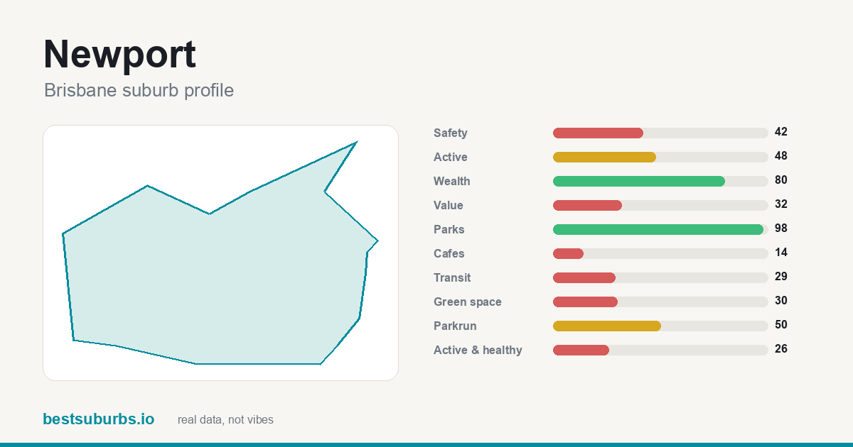 Newport Newport | — | — | 48 | $1,370,000 |
Showing the top 25 of 277 ranked suburbs. Scores are percentiles against every other suburb in Brisbane: 100 is the best in the city, 50 is mid-table. Click any suburb for its full profile.
Why do these 10 Brisbane suburbs suit runners? (October 2026)
Updated 15 October 2026 · one sentence of real reasons per suburb, from the data on this page. Crime here is published per police division, not per suburb, so these lines quote no crime figures.
- St Lucia ★ 79
St Lucia (#1) scores on 100% of it within 400 m of a park and 18 cafés, and 1 government primary school inside the suburb.
- Fairfield ★ 78
What lifts Fairfield to #2 is 100% of it within 400 m of a park; it also has 35 public transport stops inside it for a transit score of 97, and 4 cafés.
- Ashgrove ★ 78
Ashgrove (#3) scores on 100% of it within 400 m of a park and 2 government primary schools inside the suburb, and 100 public transport stops inside it for a transit score of 78.
- Yeronga ★ 77
At #4, Yeronga combines 99% of it within 400 m of a park and 63 public transport stops inside it for a transit score of 80, and 1 government primary school and 1 secondary inside the suburb.
- Milton ★ 76
Milton takes #5 on 40 public transport stops inside it for a transit score of 98, with 14 cafés, and 78% of it within 400 m of a park.
- Windsor ★ 75
At #6, Windsor combines 88% of it within 400 m of a park and 45 public transport stops inside it for a transit score of 76, and 1 government primary school inside the suburb.
- Beenleigh ★ 75
At #7, Beenleigh combines 91% of it within 400 m of a park and 1 government primary school and 1 secondary inside the suburb, and 10 cafés.
- Albion ★ 74
What lifts Albion to #8 is 86% of it within 400 m of a park; it also has 12 cafés, and 29 public transport stops inside it for a transit score of 87.
- Cleveland ★ 74
Cleveland takes #9 on 86% of it within 400 m of a park, with 1 government primary school and 1 secondary inside the suburb, and a median house price of $1.28m (Apr 2025–Mar 2026).
- North Lakes ★ 73
North Lakes (#10) scores on 91% of it within 400 m of a park and 2 government primary schools and 2 secondary inside the suburb, and 21 cafés.
Why each of the top 10 suburbs for runners in Brisbane ranks where it does
Written from this page's own data: each figure below is the suburb's own value, set against the Brisbane median where we hold one.
1. St Lucia
St Lucia is #1 of 277 ranked Brisbane suburbs on this list, with a score of 79/100. Its activity score is 96, its parks score is 90. The trade-off: it scores 21/100 for value for rent, so it is weaker there. It covers 4.5 km² with about 12,220 residents (census).
2. Fairfield
Fairfield is #2 of 277 ranked Brisbane suburbs on this list, with a score of 78/100. Its activity score is 84, its parks score is 100. It covers 1.3 km² with about 3,106 residents (census).
3. Ashgrove
Ashgrove is #3 of 277 ranked Brisbane suburbs on this list, with a score of 78/100. Its activity score is 92, its parks score is 91. It covers 5.4 km² with about 13,450 residents (census).
4. Yeronga
Yeronga is #4 of 277 ranked Brisbane suburbs on this list, with a score of 77/100. Its activity score is 88, its parks score is 93. It covers 3.5 km² with about 7,062 residents (census).
5. Milton
Milton is #5 of 277 ranked Brisbane suburbs on this list, with a score of 76/100. Its activity score is 82, its parks score is 96. It covers 1.2 km² with about 3,144 residents (census).
6. Windsor
Windsor is #6 of 277 ranked Brisbane suburbs on this list, with a score of 75/100. Its activity score is 92, its parks score is 84. It covers 2.8 km² with about 7,811 residents (census).
7. Beenleigh
Beenleigh is #7 of 277 ranked Brisbane suburbs on this list, with a score of 75/100. Its activity score is 94, its parks score is 82. The trade-off: it scores 8/100 for value for rent, so it is weaker there. It covers 8 km² with about 8,425 residents (census).
8. Albion
Albion is #8 of 277 ranked Brisbane suburbs on this list, with a score of 74/100. Its activity score is 88, its parks score is 84. It covers 1.3 km² with about 3,446 residents (census).
9. Cleveland
Cleveland is #9 of 277 ranked Brisbane suburbs on this list, with a score of 74/100. Its activity score is 86, its parks score is 86. The trade-off: it scores 2/100 for value for rent, so it is weaker there. It covers 15.2 km² with about 15,850 residents (census).
10. North Lakes
North Lakes is #10 of 277 ranked Brisbane suburbs on this list, with a score of 73/100. Its activity score is 74, its parks score is 95. The trade-off: it scores 33/100 for public transport, so it is weaker there. It covers 11.9 km² with about 23,030 residents (census).
How do these suburbs compare head to head?
What else do people ask about suburbs for runners in Brisbane?
What are the best suburbs in Brisbane for runners?
On our October 2026 data the top five are St Lucia (79/100), Fairfield (78/100), Ashgrove (78/100), Yeronga (77/100), Milton (76/100), out of 277 ranked Brisbane suburbs.
How is this ranking calculated?
Distance to the nearest parkrun, GPS activity heat, and the parks score. The activity figure comes from open GPS traces, so it reflects where people genuinely run rather than where a real-estate listing claims they do. 277 of 277 Brisbane suburbs had enough data to be ranked. Updated October 2026.
Is this ranking sponsored?
No. No ranking on this site is sold or sponsored. It is computed from open data: GPS activity traces, official crime statistics, the ABS census and OpenStreetMap.
What other Brisbane rankings are there?
Sources: open GPS activity traces, official crime statistics, ABS census,
OpenStreetMap (ODbL). Sale prices: Queensland Regional Profiles (QGSO), 12 months ending 31 March 2026 — © The State of Queensland (Queensland Treasury), Queensland Government Statistician's Office, Queensland Regional Profiles, CC BY 4.0; suburb-to-SA2 placement via ABS ASGS 2021 (CC BY 4.0). Queensland publishes sale medians per ABS Statistical Area Level 2 (SA2 — "broadly equivalent to suburb size"), not per suburb, so this is the median for the SA2 the suburb sits in (named next to each figure when it differs); detached dwellings = houses, attached = units. The window is the latest 12 months, not a quarter, and QGSO withholds medians under 10 sales. No ranking on this site is sold or sponsored.
← all 277 Brisbane suburbs, with sliders